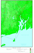
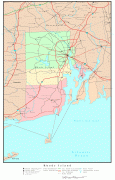
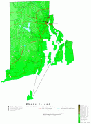
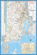
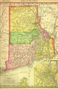
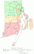
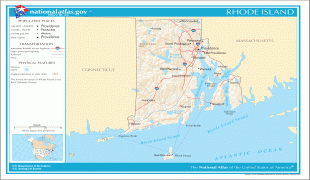
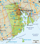
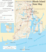
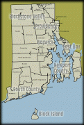
Rhode Island (Rhode Island)
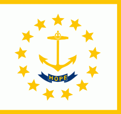 |
 |
Native Americans lived around Narragansett Bay for thousands of years before English settlers began arriving in the early 17th century. Rhode Island was unique among the Thirteen British Colonies in having been founded by a refugee, Roger Williams, who fled religious persecution in the Massachusetts Bay Colony to establish a haven for religious liberty. He founded Providence in 1636 on land purchased from local tribes, thereby creating the first settlement in North America with an explicitly secular government. The Colony of Rhode Island and Providence Plantations subsequently became a destination for religious and political dissenters and social outcasts, earning it the moniker "Rogue's Island".
Rhode Island was the first colony to call for a Continental Congress, which it did in 1774, and the first to renounce its allegiance to the British Crown, which it did on May 4, 1776. After the American Revolution, during which it was heavily occupied and contested, Rhode Island became the fourth state to ratify the Articles of Confederation, which it did on February 9, 1778. Because certain of its citizens favored a weaker central government, it boycotted the 1787 convention that had drafted the United States Constitution, which it initially refused to ratify; it finally did ratify it on May 29, 1790, the last of the original 13 states to do so.
It had been officially named the State of Rhode Island and Providence Plantations since the colonial era, but came to be commonly known simply as "Rhode Island". In November 2020 the state's voters approved an amendment to the state constitution formally dropping "and Providence Plantations" from its full name. Its official nickname is the "Ocean State", a reference to its 400 miles (640 km) of coastline and the large bays and inlets that make up about 14% of its total area.
Map - Rhode Island (Rhode Island)
Map
Country - United_States
 |
 |
| Flag of the United States | |
Indigenous peoples have inhabited the Americas for thousands of years. Beginning in 1607, British colonization led to the establishment of the Thirteen Colonies in what is now the Eastern United States. They quarreled with the British Crown over taxation and political representation, leading to the American Revolution and proceeding Revolutionary War. The United States declared independence on July 4, 1776, becoming the first nation-state founded on Enlightenment principles of unalienable natural rights, consent of the governed, and liberal democracy. The country began expanding across North America, spanning the continent by 1848. Sectional division surrounding slavery in the Southern United States led to the secession of the Confederate States of America, which fought the remaining states of the Union during the American Civil War (1861–1865). With the Union's victory and preservation, slavery was abolished nationally by the Thirteenth Amendment.
Currency / Language
| ISO | Currency | Symbol | Significant figures |
|---|---|---|---|
| USD | United States dollar | $ | 2 |
| ISO | Language |
|---|---|
| EN | English language |
| FR | French language |
| ES | Spanish language |


